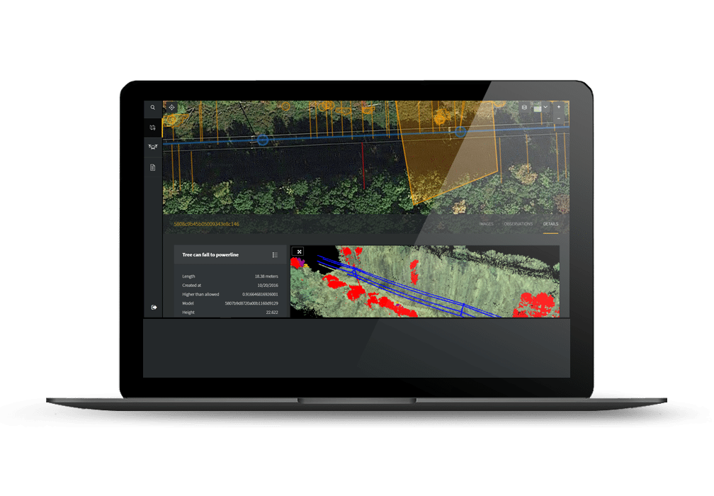
 Vegetation management is one of the largest ongoing operational costs for utilities, costing approximately $8 billion for American utilities annually – but drone vegetation management is changing things.
Drone vegetation management reduces costs
Drones can carry the same light detection and ranging (LiDAR) previously used by helicopters, capturing millions of data points to map out miles of power line right-of-way. The benefits of this include:
- A 30 percent reduction in inspection expenses
- Reduced human risk
Detect maintenance needs more precisely
With drone inspections, utilities can find existing and potential issues more efficiently than ever before. Drone inspection capabilities include:
- Automated analysis
- Species recognition
- Growth forecasting
- Normalized Difference Vegetation Index (NDVI)
Automatic detection
By utilizing drone vegetation management, utilities become more conscious of:
- Potential encroachments
- North American Electric Reliability Corporation (NERC) compliance
- Right-of-ways
- Branching
- Trunks
- Undergrowth
Acting based on data
Utilities can leverage drone-collected data to address issues without delay, yielding:
- More frequent inspections enabled by lower cost
- Data that is up-to-date
- Risk-based targeting of vegetation management
- Improved reliability and resilience
Using human expertise where it’s needed
Nothing can replace the expertise of on-the-ground field crews, but drone inspections provide personnel with crucial tools to more efficiently and safely inspect power lines and their right-of-ways. Drone inspections inform crews of exactly which areas of the grid need special attention.
This blog post was drafted in partnership with Sharper Shape. Read Sharper Shape’s original article, “5 reasons drones will change the way you think about vegetation management.”
Related posts
Sharper Shape drones operational beyond visual line of sight (BVLOS)
Border States enhancing utility drone inspection with Sharper Shape